Home2024-02-09T10:26:58+00:00

Welcome to the River Mease Partnership website.

The River Mease is an important lowland clay river in the Midlands of England. It flows through the counties of Leicestershire, Derbyshire and Staffordshire before it reaches the Trent between Lichfield and Burton upon Trent.

Despite its special status as a designated river for nature conservation, the condition of the habitats along its length has suffered over recent years. The biodiversity value of the Mease has been damaged by

  • Development and housing;
  • Wastewater
  • Urban and agricultural runoff.
  • Habitat modification.

The species and habitats are under threat from pollution and poor water quality mainly due to high phosphorus levels and drainage works. There is a lot of work being delivered by farmers, local authorities and others to improve the status of the River Mease and its catchment. Click on the links on this website to find out more.

Latest News

River Mease News

8 September 2023|

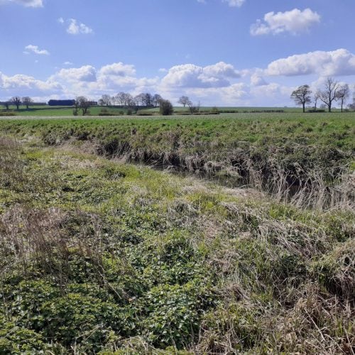
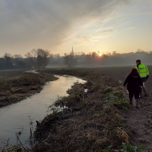
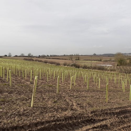
Jobs done 40 landowners agreed to river-friendly improvements on their land 7.65km of habitat restored 4.8ha of in-channel habitat improvements 13.12ha of wetlands, scrapes, and meadows 11ha of grassland under improved management. 40ha of Maize [...]
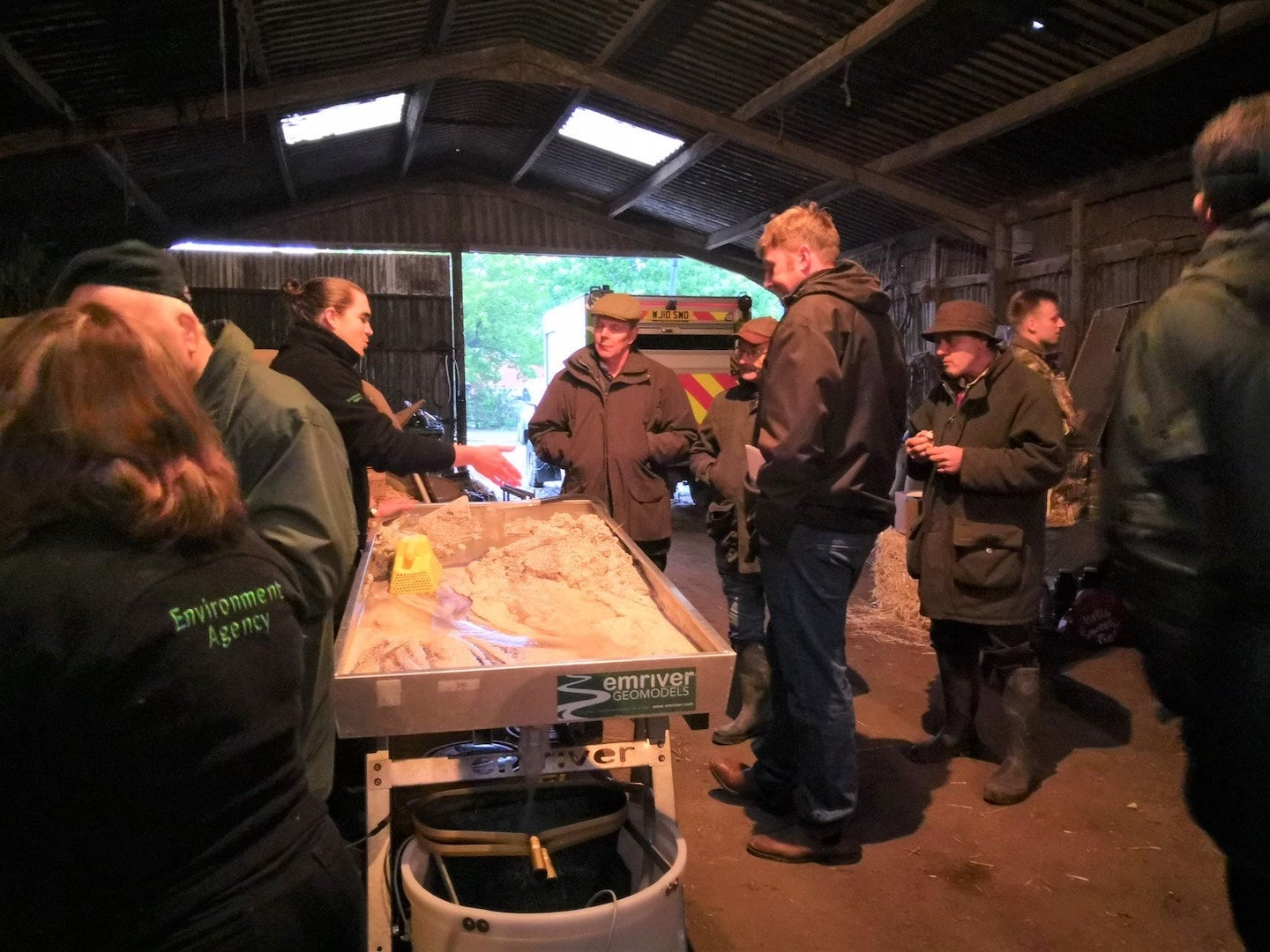
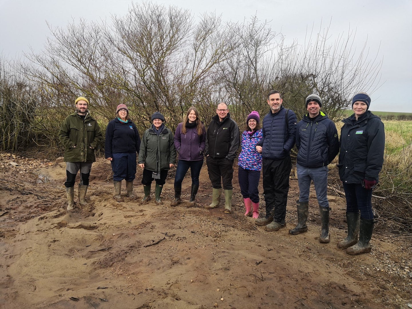
Mease Project Map

The Mease project map shows where project work is taking place across the catchment. The different colour coded categories show where projects have been delivered under the different funding mechanisms, and the different stages of project delivery, from identification of a potential project, to project development and construction being completed. The map shows how projects under the different funding mechanisms are widespread across the catchment for maximum impact and benefit.

Go to Top